|
StormPursuit
Forecast Tools:
Pictures/Accounts:
Education:
The Rest:
|

|
2009 Chase Accounts |
|
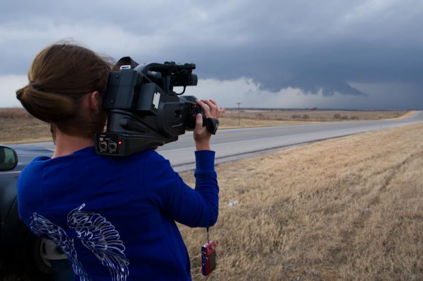
February 10, 2009 Today I chased with partner Jessica Trober, as well as Amos Magliocco and his partner Kevin Peterson. We started the day off by heading West on 380 out of Denton as initiation occurred earlier than many of us had expected. The first few storms went up around Throckmorton and were moving to the NE at around 40mph. We took 281 North to SR114 where we continued on to Olney and then to Mankins. The storm rapidly de-intensified, so we chose to pursue new storms forming to our SE that were out ahead of what was now a squall line. We took some small roads, and a “Bobs” Road that took us through Bellevue and over to US 81. While traveling East to US 81 we observed a storm to our North that rapidly intensified and had magnificent structure and a solid updraft. Very quickly this cell developed a wall cloud. We went North on 81 and pulled over just to the South of the town of Ringgold where we observed a brief tornado. This white “snake” like funnel lasted only for a few minutes and was confirmed on the ground with structure damage and Amos’s camcorder. We continued North then went East on 82 in hopes of catching back up with it on the other side of the Red River. This is where we observed tornado number 2 near Belcherville, Texas around 6:30PM. This tornado was long lived and continued through the town of Lone Grove, Oklahoma. We continued to Nocona where we called it a chase day and headed back to Dallas. Jessica and I waited for the squall line move into the Dallas and observed torrential rains, lightning and very gusty winds that were blowing semi trailers nearly off of Loop 12. Today was great, and brought my first February tornado. This was dampened a little after hearing about the numerous fatalities in Lone Grove.
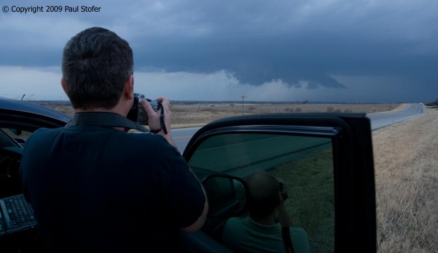
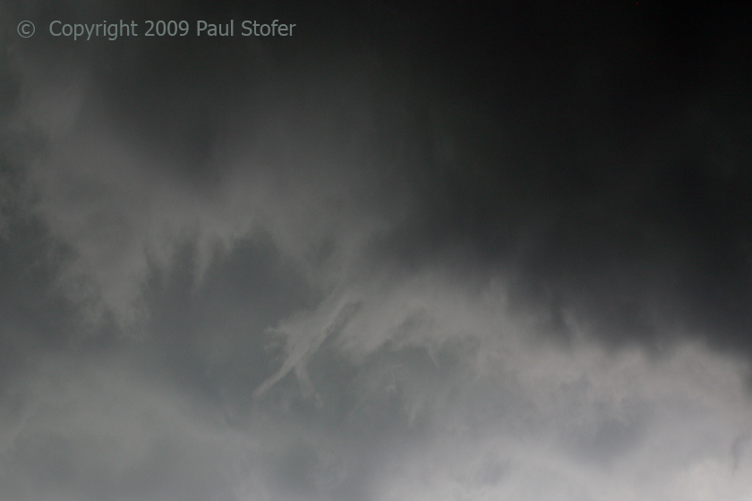
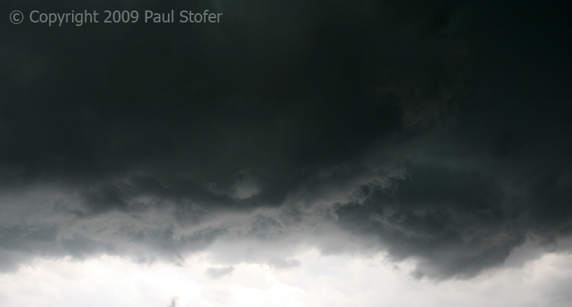
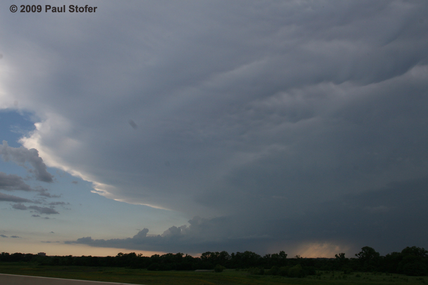
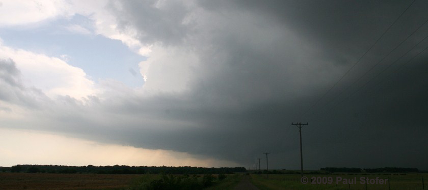
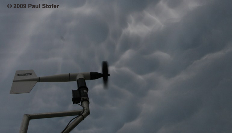
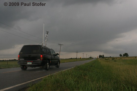
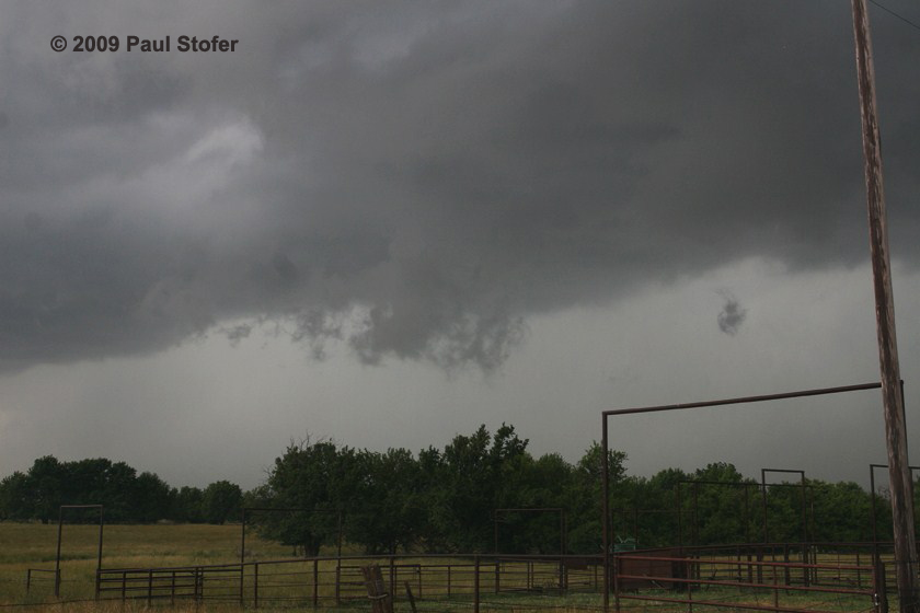
March 25, 2009 I traveled from Dallas to Austin observing multicellular and linear storms. I intercepted a tornado warned storm just outside Round Rock shortly before it rapidly deintensified. Nothing significant was observed. March 27, 2009 I left the Dallas area a little late since I had to work until 2330Z. Today turned into a difficult, and non-photogenic night time chase. I flew North on 75 attempting to intercept a tornadic thunderstorm that was passing just South of Gainesville, TX. I went West on 380 then North on 377 and observed the storm from the South as it approached Collinsville. I went East on 902 out of Collinsville and followed the storm Southeast as it approached Sherman. I observed a very large wall cloud with power flashes and lots of scud underneath it. It appeared that the tornado (there was no condensation funnel reaching the ground) was getting wrapped in rain, as the power flashes disappeared into the rain curtain. The storm continued to look impressive on radar, but visually lost its impressiveness rapidly. The storm began to go outflow dominant and we abandon the storm Southeast of Sherman. It was a difficult night chase as the terrain was less than desired and there wasn't much lightning associated with the storm. April 25, 2009 We left for our target area around Shamrock, TX from our hotel in Woodward, OK around 11am. We chose to play the triple point today, but it turned into a dryline chase. We arrived in Shamrock off I40 and ran into chaser convergence. We wanted to distance ourselves a little further from the approaching cold front so we went East on I40 and arrived in Erik, Oklahoma along with Michael Seger, his friend, the TIV crew, Reed Timmer and some others. Michael, his friend, my chase partner and myself decided that we needed to relocate a little further North so we went North on SR30. Along 30 we observed penny sized hail. We then went East and then South on Custer City Rd just East of Clinton OK to intercept a cell that was dropping reported baseball hail and had signs of rotation. We sat at a Loves truck stop and observed quarter sized hail. We watched a rotating supercell approach our location from the West. The storm produced a very large, rapidly rotating wall cloud. The rotation associated with this wall cloud was very impressive. The base began to drop funnel after funnel, so we reported the rotating wall cloud to 911 and the local NWS. The storm never did produce a tornado, but had beautiful structure. After sunset the storms in Southern Oklahoma weakened as the storms in Northern Oklahoma intensified as the Low Level Jet began to crank up. We called it the end of the chase and returned to Norman to stay the night. Nothing else significant was observed.
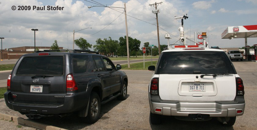
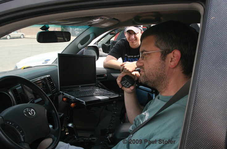
June 9, 2009 Today I chased with Mike Mezeul. We left Dallas around 8am for our target around Wichita, Kansas. We met up with chasers Amos Magliocco and Kenneth McAllister in Norman and convoyed up to Wichita. We arrived in Wichita around 2pm and ran over some data. As we sat in Wichita we watched the cold front blow through on radar as we measured temperatures drop 9 degrees and the winds shift strongly out of the North. We relocated SE back into the warm sector where there were warmer temperatures and backed winds again. We went East out of Wichita and then South on 77 to Winfield. We waited while we watched agitated Cu try to break the cap. One storm rapidly blew through the cap and we followed it East on 160. We followed the storm from Cowley County into Elk County where near the town of Howard we observed a brief lowering with decent rising scud. We also observed quarter size hail and a gustnado before we measured 53MPH winds undercut the storm. We continued to Independence, Kansas where we met up with Scott Blair and finished the evening with an MCS at Pizza Hut. Nothing else of significance was observed.
|