|
StormPursuit
Forecast Tools:
Pictures/Accounts:
Education:
The Rest:
|

|
2010 Chase Accounts |
|
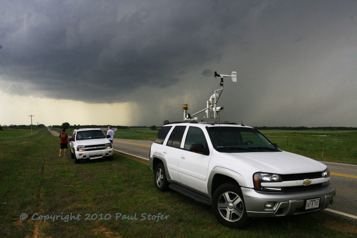
April 5, 2010 I chased the dryline in Central Kansas today. The cap was too strong to be overcome and nothing significant was observed. I stayed in Wichita overnight for the next days chase. April 6, 2010 I left Wichita this morning, and headed South where agitated cumulus began to bubble. I traveled to Blackwell Oklahoma and then West on Highway 11 to Medford. I watched towering cumulus hit the cap, then die out numerous times. After about 20 minutes, the cumulus skyrocketed and formed pileus and blasted right through the cap. This happened multiple times, but the towers were unable to survive and quickly went back below the cap layer. We observed these storms for a couple of hours and followed them NE on US 81. Eventually I decided to call it a day and head back home realizing that storms would not be able to sustain themselves. During the trip back South I observed strong storms form just North of Oklahoma City. One formed a very small hook, and within this region I observed a wall cloud with rain wrapping around it. The entire storm was rotating and had a beautiful spiral feature. After about 5 minutes the wall cloud dissipated and the storm grew into a line segment. As I continued South I observed very brief pea size hail. We continued the trip home and bumped into David Drummond and some others on a scenic lookout in the Arbuckle mountains. Nothing else significant was observed today. May 10, 2010 Today I
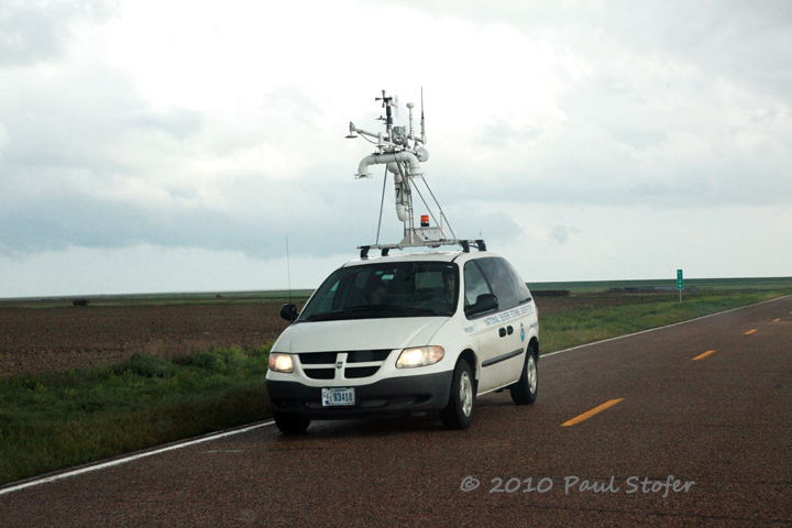
chased with Meteorologist Bob Goosmann as well as friends
Jeremy Wilson and Jay Urish. Today had a very high probability
of large, violent and long track tornadoes. The
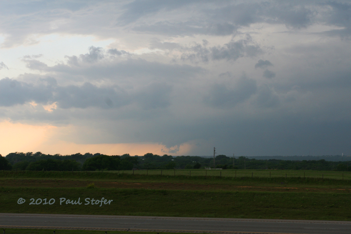
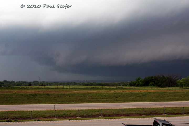
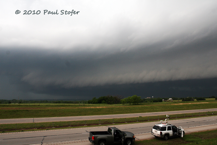
May 19, 2010 Today I chased with Meteorologist Bob Goosmann. We started the day late, leaving the Dallas/Fort Worth Metroplex around 1230PM. We originally targeted Clinton Oklahoma, but with the dryline forecasted a little further East. We broke off 287 and went North on 81 through Duncan and Chickasha. We ended up in Guthrie Oklahoma with storms already active. We sat just South of Guthrie on I35 watching a tornado warned thunderstorm to our West moving East at 35MPH. The tornado was heavily rain-wrapped, but we could see the storm rotating and the striations. We could see the rotating wall cloud emerge from the rain and disappear back into the curtain. We went south out of Guthrie as the hook region passed through the town. The sirens in town were sounding, but the tornado had already lifted. We measured nickel size hail, torrential rain and noticed strong winds. These winds were probably associated with the RFD. Lots of nice structure today, but no tornado. Nothing else significant was observed.
May 20, 2010 Today the chase was local, and it panned out well. I left home around 1245 and headed for the southern Dallas County line. I went south on loop 12 to spur 408. I passed through small hail and saw what appeared to be a very high-based and ragged wall cloud. I stopped at the split of Spur 408 and Interstate 20 and watched a tornado quickly develop. This tornado started off with a large rope / curved stovepipe look before weakening dramatically. I observed this tornado from approximately 15 miles. I quickly began to turn in reports to the Dallas County RACES net as well as make reports back to the TV station. The tornado remained a moderate rope for the majority of its life and lasted approximately 10 minutes while passing through the town of Midlothian. The tornado lifted and dropped 3 times. As it slowly moved to the East, the tornado weakened and roped out before the storm base became wrapped in rain. The tornado remained in open fields and did no damage to structures. Successful and short day.
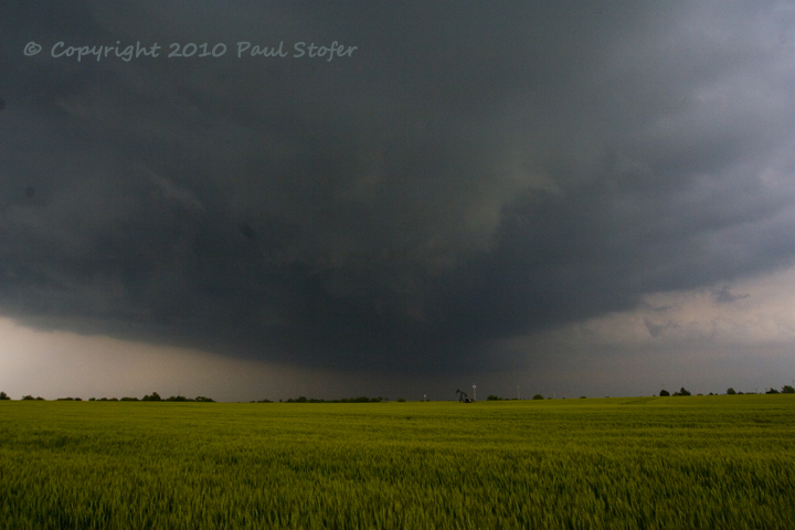
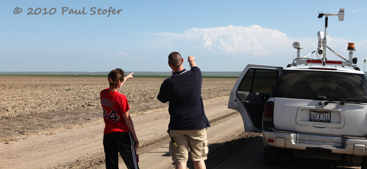
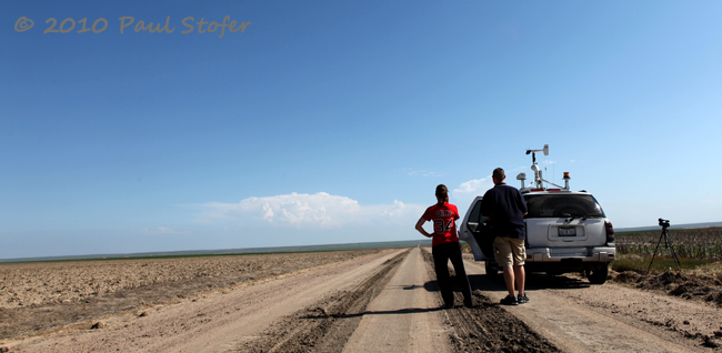
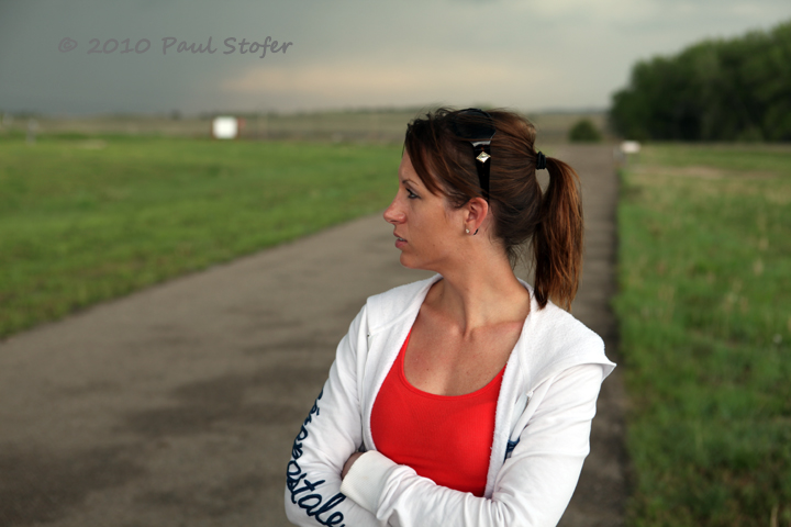
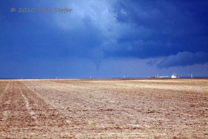
May 23, 2010 Today I chased with Jessica Trober and Dave Fick. Our target today was Northwest Kansas. We went west out of Salina on 70 and passed through Hays, and into Colby. Around 1Z storms began to rapidly become Severe. We turned around and went back East to Oakley and then South on US83 towards Scott City. Here we observed a very large rotating wall cloud to our West. The wall cloud was scraping the ground, and could very well have had a brief spin up underneath. Approximately 5 minutes later we observed a tornado near Russell Springs. This lifted and touched back down 5 times. We went North on 83 and back west on 70 to get closer to the tornado. By the time we got back to Interstate 70 the tornado had lifted. We went west to Goodland where a new Tornado Warning was issued. Here we observed another small tornado with rapid lower level rotation. The storm crossed 70 and continued to the North. We followed it North out of Goodland and chased a HP supercell with an embedded large tornado. We went East on 36 to Bird City and North on 27 to Wheeler. We followed this storm that contained a large and dangerous tornado for 30 miles. The storm began to lose its supercellular characteristics so we called the chase off. We stayed in McCook, Nebraska overnight to stage for tomorrows chase.
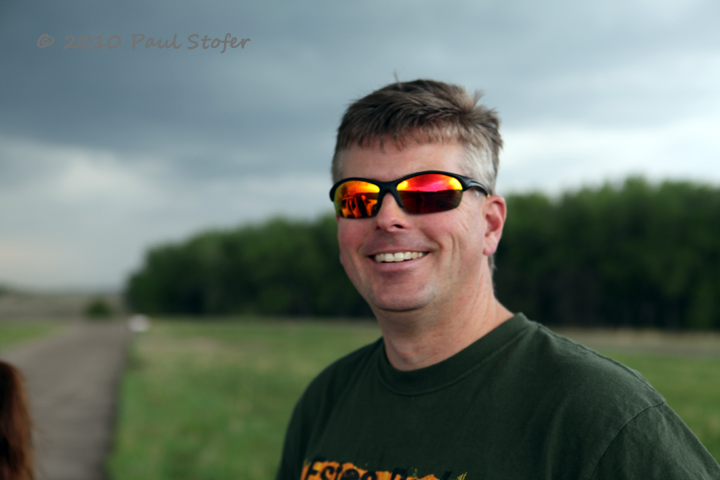
May 24, 2010 Today Jessica, Dave and I chased Nebraska and South Dakota. Today, once again, had early storm initiation. We traveled North on 83 through North Platte. We notice storms beginning to fire on radar to our West in the Nebraska panhandle. We flew West on 80 then Northeast on 385 towards Scottsbluff and up into Alliance. We quickly jumped onto a tornado warned storm as it passed just North of Alliance. We observed very low hanging clouds and a possible rotating wall cloud on the forward flank of the storm. Shortly after storm passage we measured 53 MPH winds and nickel size hail. We also observed a brief rotating funnel at this location. We continued to follow the storms North into Chadron and into South Dakota. We went East on 18 to stay ahead of the now bowing line segment. We eventually went South on 391 back into Nebraska and ended the chase since all the storms were linear by now. We went into Wyoming and stayed in Cheyenne overnight to stage for tomorrows Southeast Colorado chase. Nothing else significant was observed.
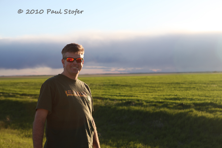
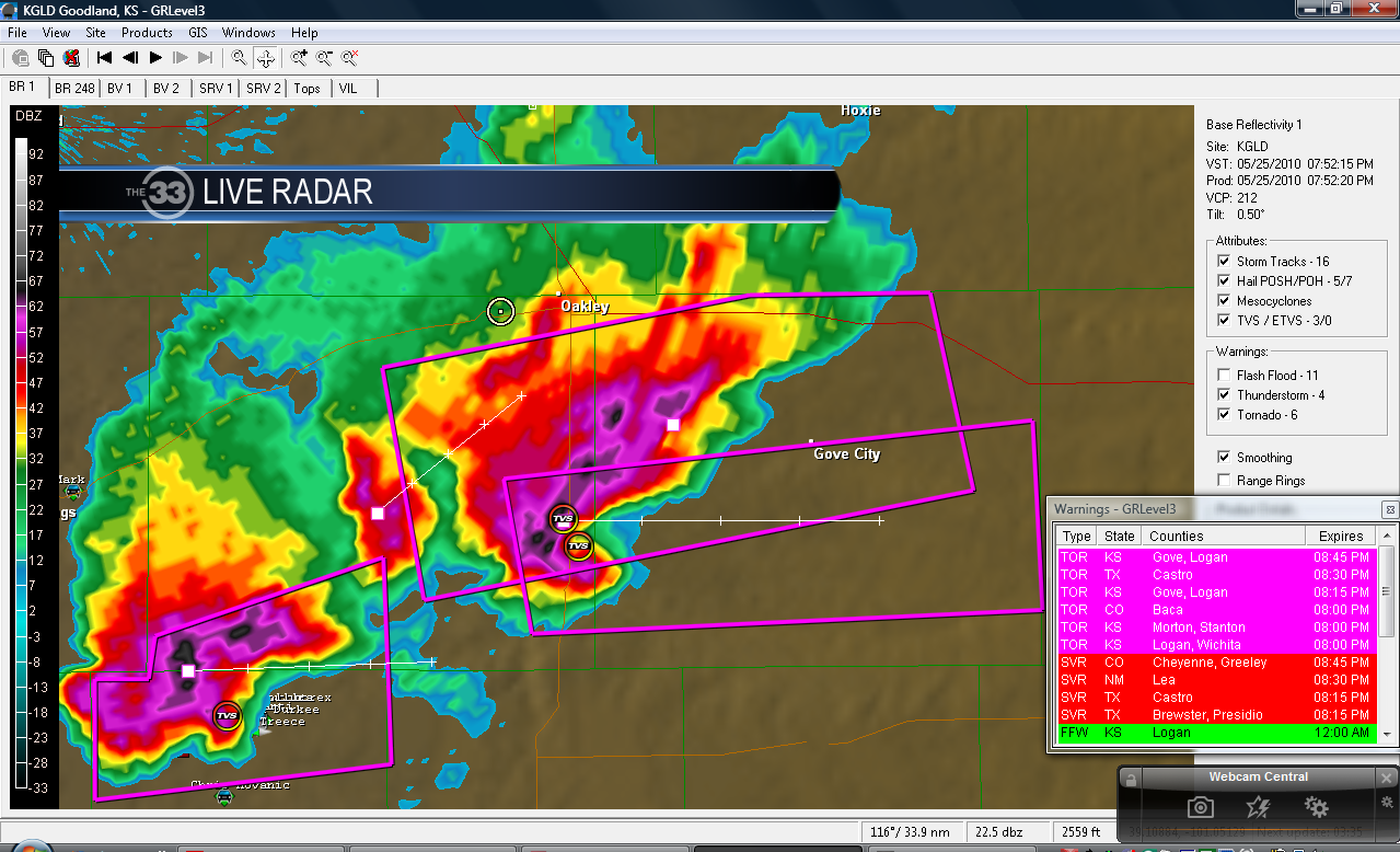
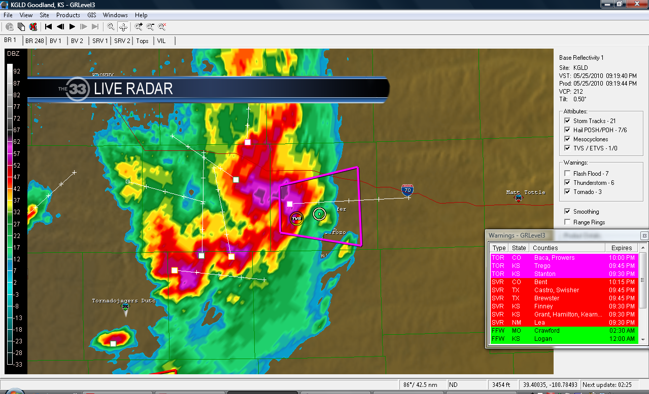
May 25, 2010 Today Dave, Jessica and myself targeted Southeast Colorado. We left Cheyenne, WY around 9AM and headed for Pueblo Colorado. When we arrived in Pueblo we stopped at the local Weather Forecast Office to discuss with the meteorologists there. Shortly after we left Pueblo storms began to fire in far Western Kansas. We shot east on US 50 through La Junta, and on to Lamar. Storms quickly went tornado warned to our North. The structure was very impressive, but the storm tops were incredibly low. We watched the storms from about 15 miles away, and observed a large tornado for about 5 minutes before it became obscured by rain. We went North out of Granada on US 385 through Sheridan Lake and Northeast onto Cheyenne Wells where another storm had just gone tornadic. While on 385 we passed the Vortex 2 armada gathering data and doing transects on the current storm. We also passed what I believe was the Smart-R DOW. While on 385 just north of Sheridan Lake we observed 2 small rope tornadoes. We continued North to race around the storm for better position. We went East on 40 through Oakley and onto 70. To our immediate south was a very large tornadic storm with a large VIL return and massive hook echo on radar. We continued East and were able to wrap our way around the NE quadrant of the storm. Here for about 7 minutes we observe another large tornado from about 10-15 miles away. I immediately sent in my observations to DDC on the NWSChat software and within a minute a tornado warning was issued containing a large and violent tornado. What a great feeling knowing we were able to help the public and increase lead time! We continued South on 283 to get on the Southeast side of the storm. We had a perfect view of the storm base and observed a large bell lowering obscured heavily by rain. The tornado had lifted and the storm quickly formed a massive shelf cloud. The storm remained tornado warned. We continued South and let the rotation and hail core pass to our North. While sitting in the southern end of the core we measured 52 MPH sustained winds and pea size hail. We had lost daylight and the storm wasn't as impressive as earlier so we called the chase off and headed towards Dodge City for the night. 8 tornadoes in 3 days ended a successful week of chasing for the 3 of us.
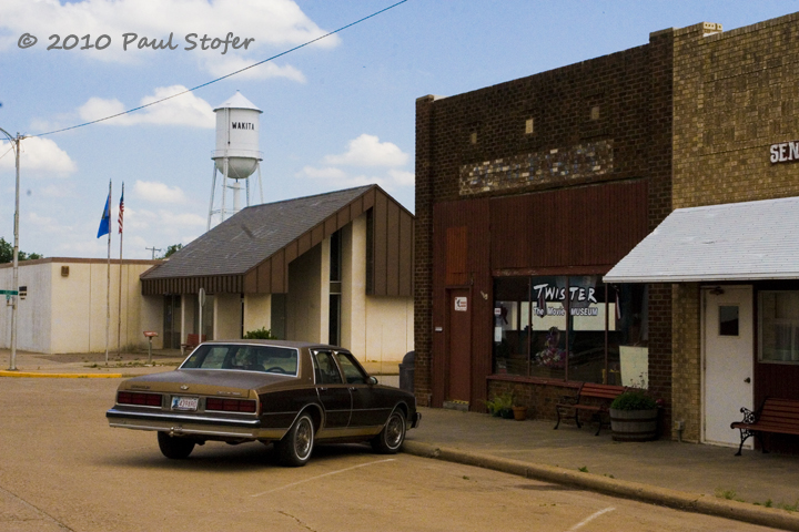
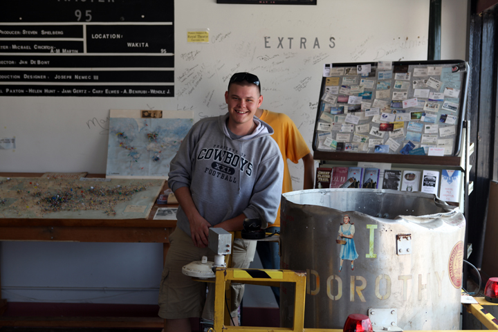
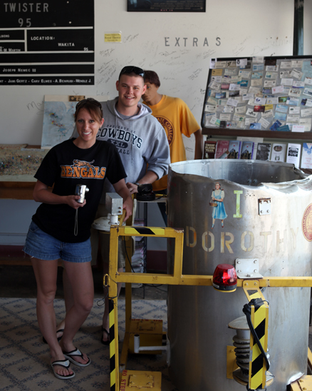
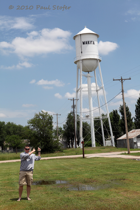
May 26, 2010 Down
Day.... Passed through Greensburg, Kansas and Wakita,
Oklahoma...
|


