|
StormPursuit
Forecast Tools:
Pictures/Accounts:
Education:
The Rest:
|

|
2011 CHASE ACCOUNTS |
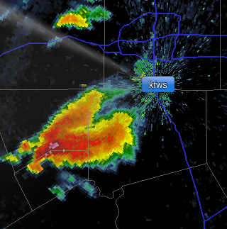
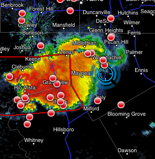
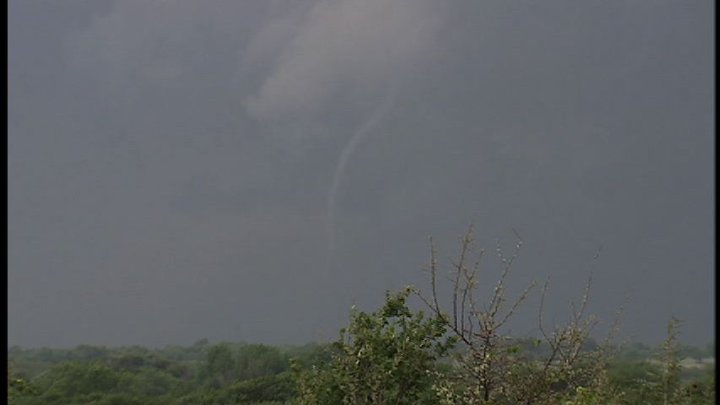
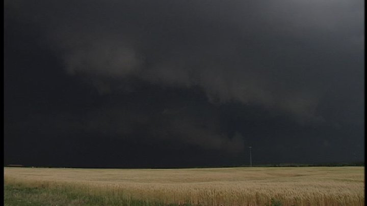
April 25th, 2011
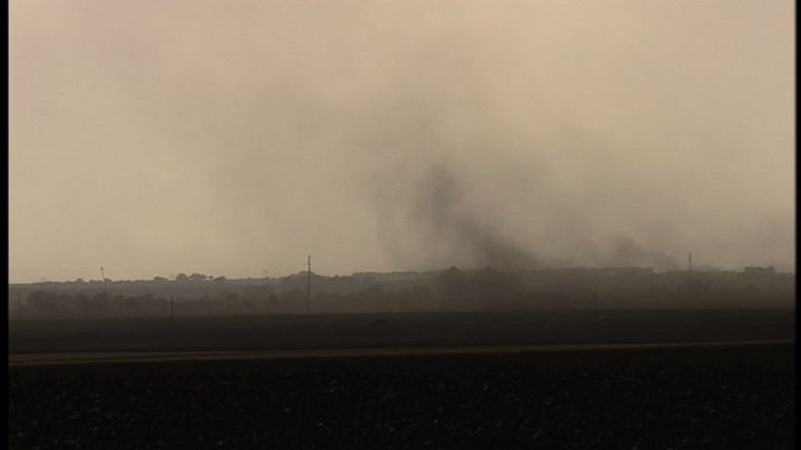
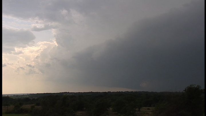
This years chase season for me was very brief. Starting with the Fire Department, getting married and funds being allocated to other areas slimmed the season down to only a couple of days this year. I chased a couple more days during the season of 2011; however, nothing significant was observed. |
|
|