|
StormPursuit
Forecast Tools:
Pictures/Accounts:
Education:
The Rest:
|
|
2012 CHASE ACCOUNTS |
April 3rd, 2012
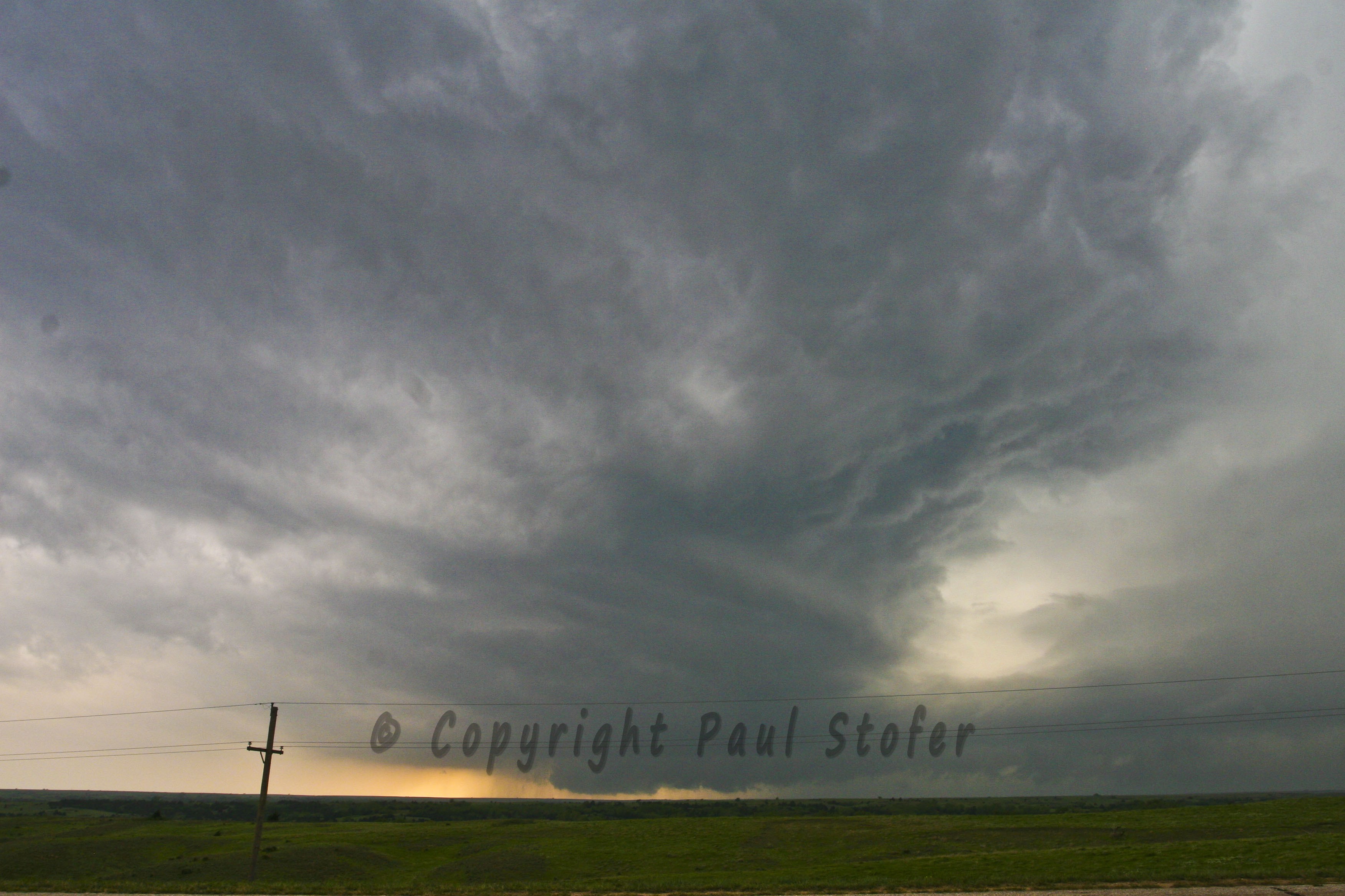
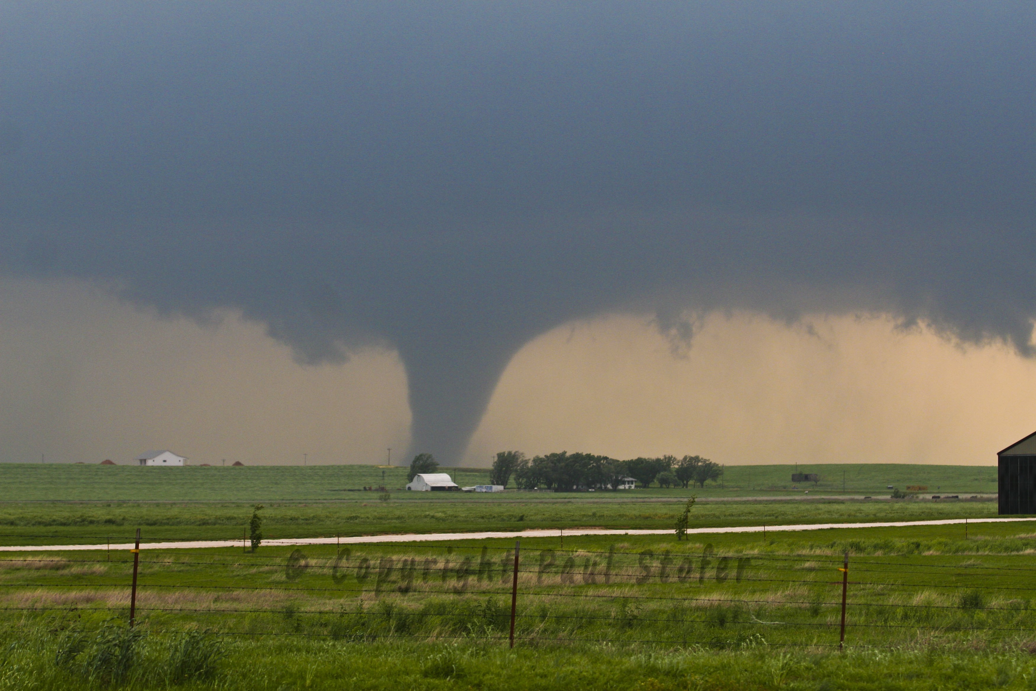
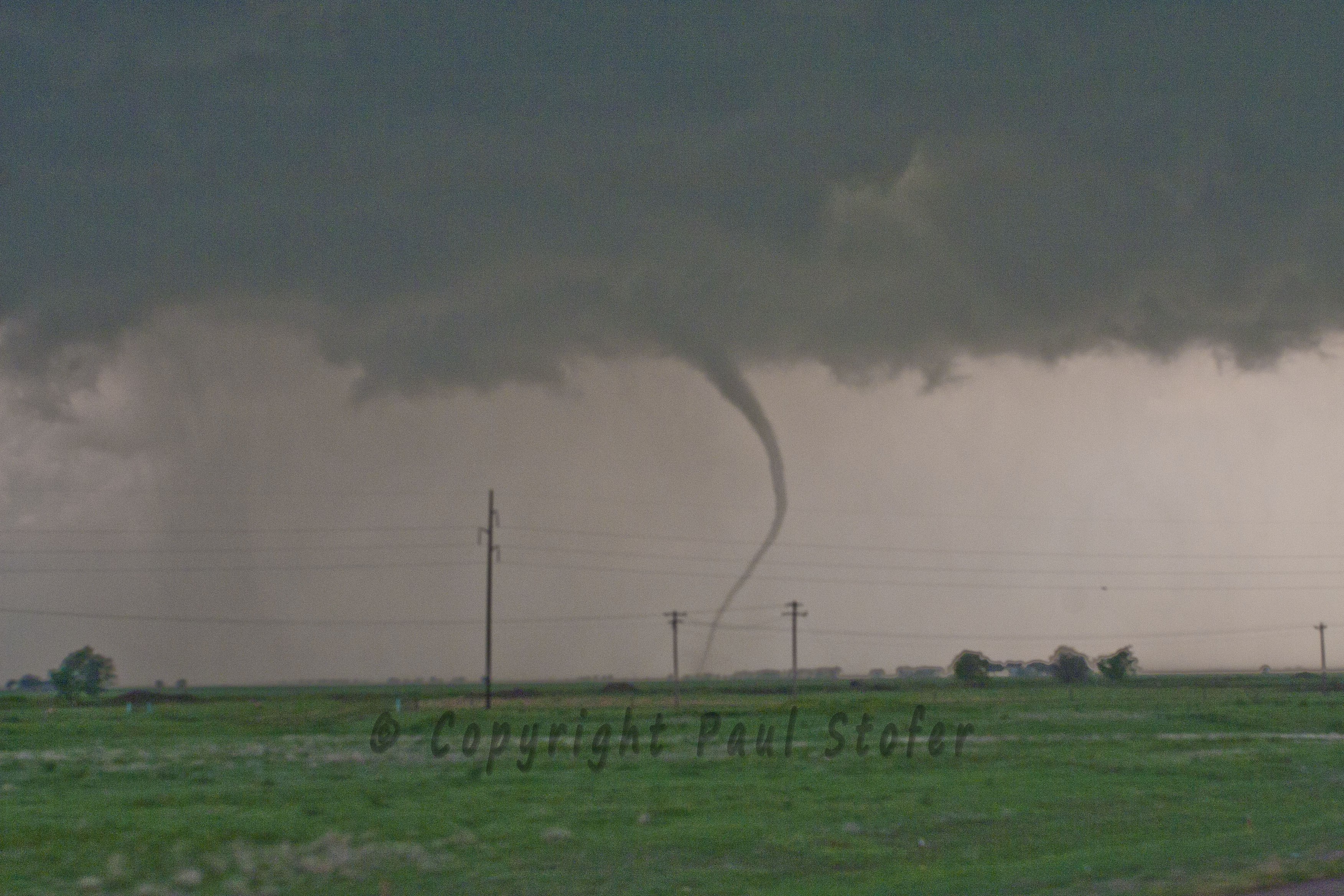
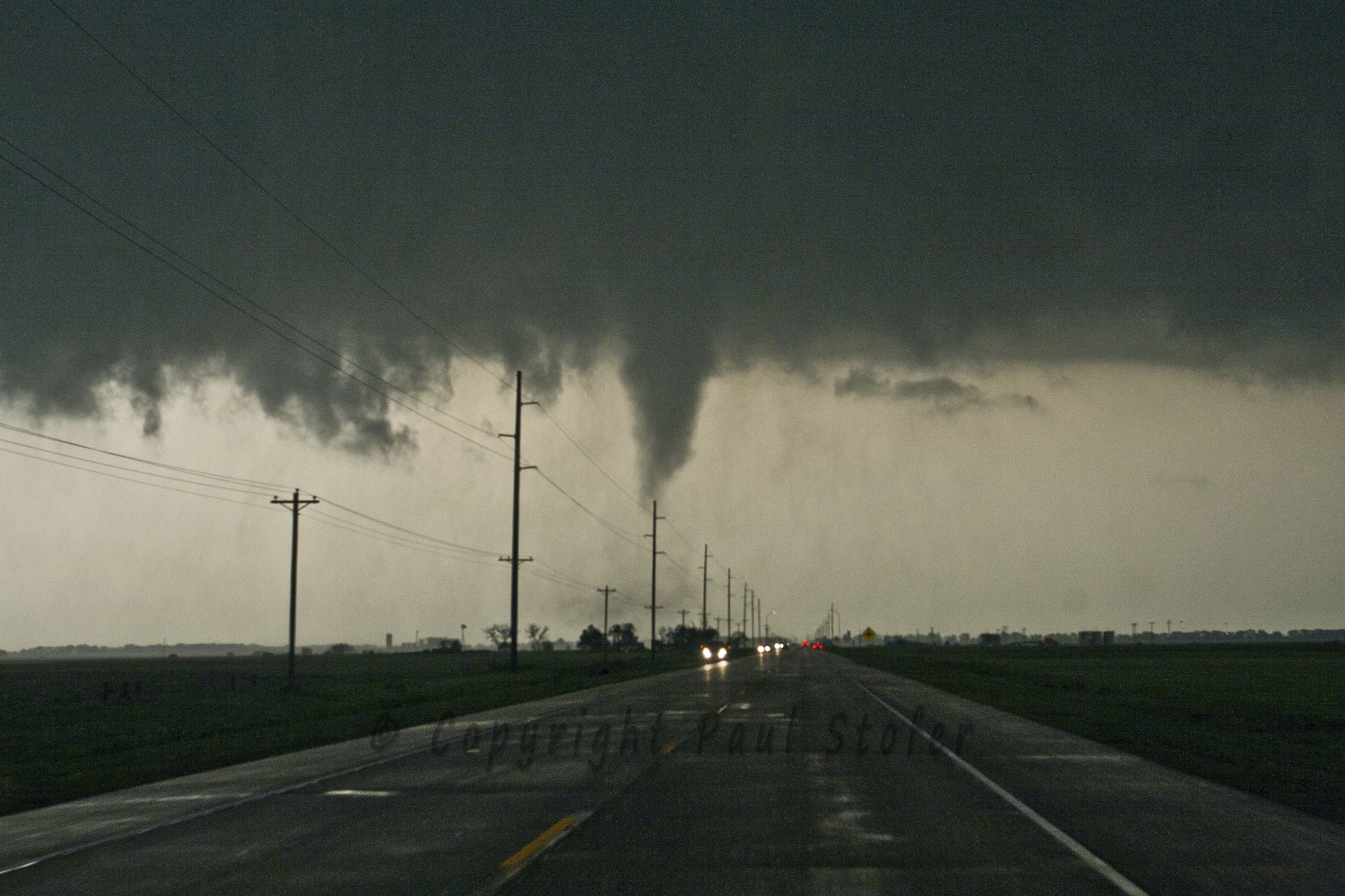
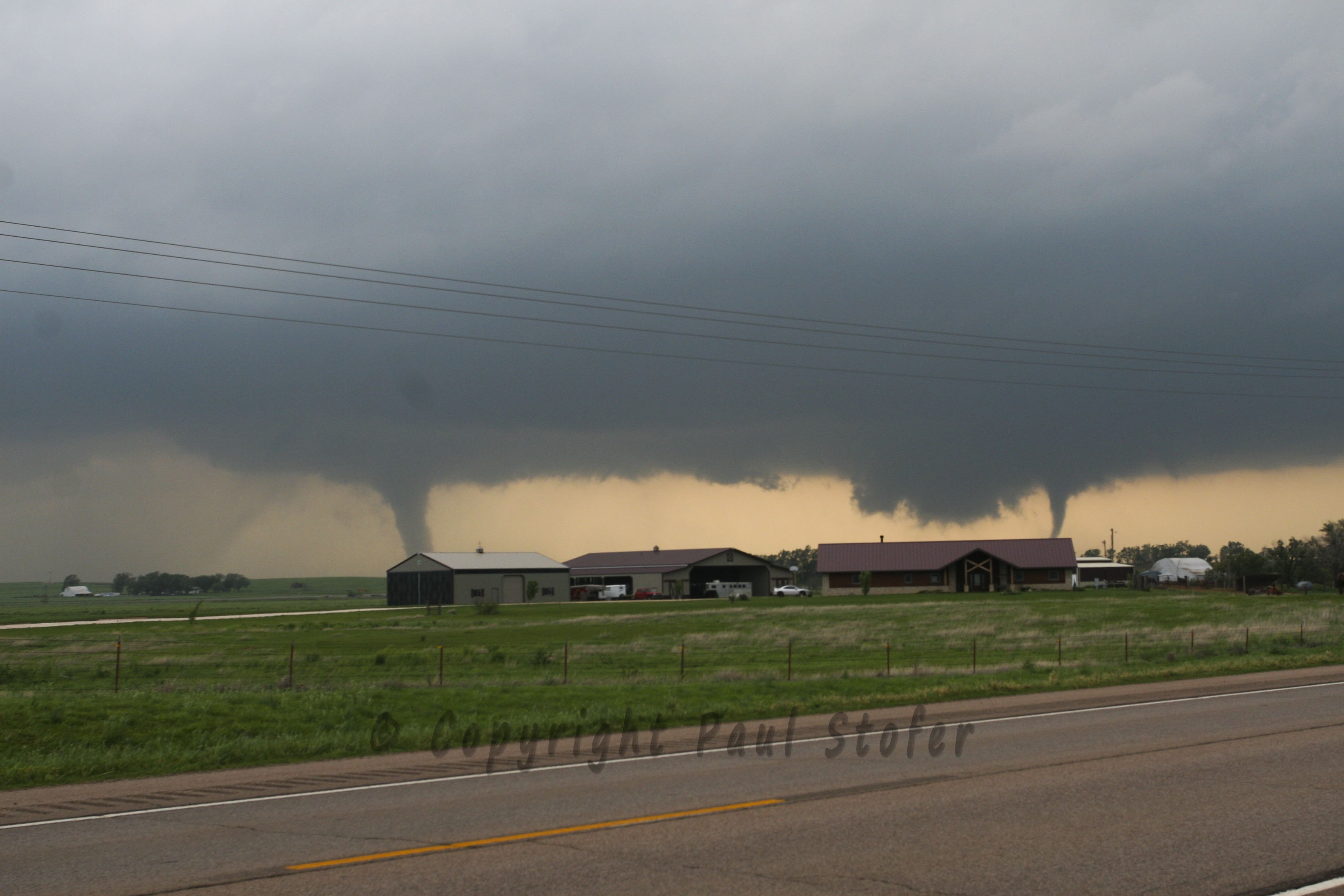
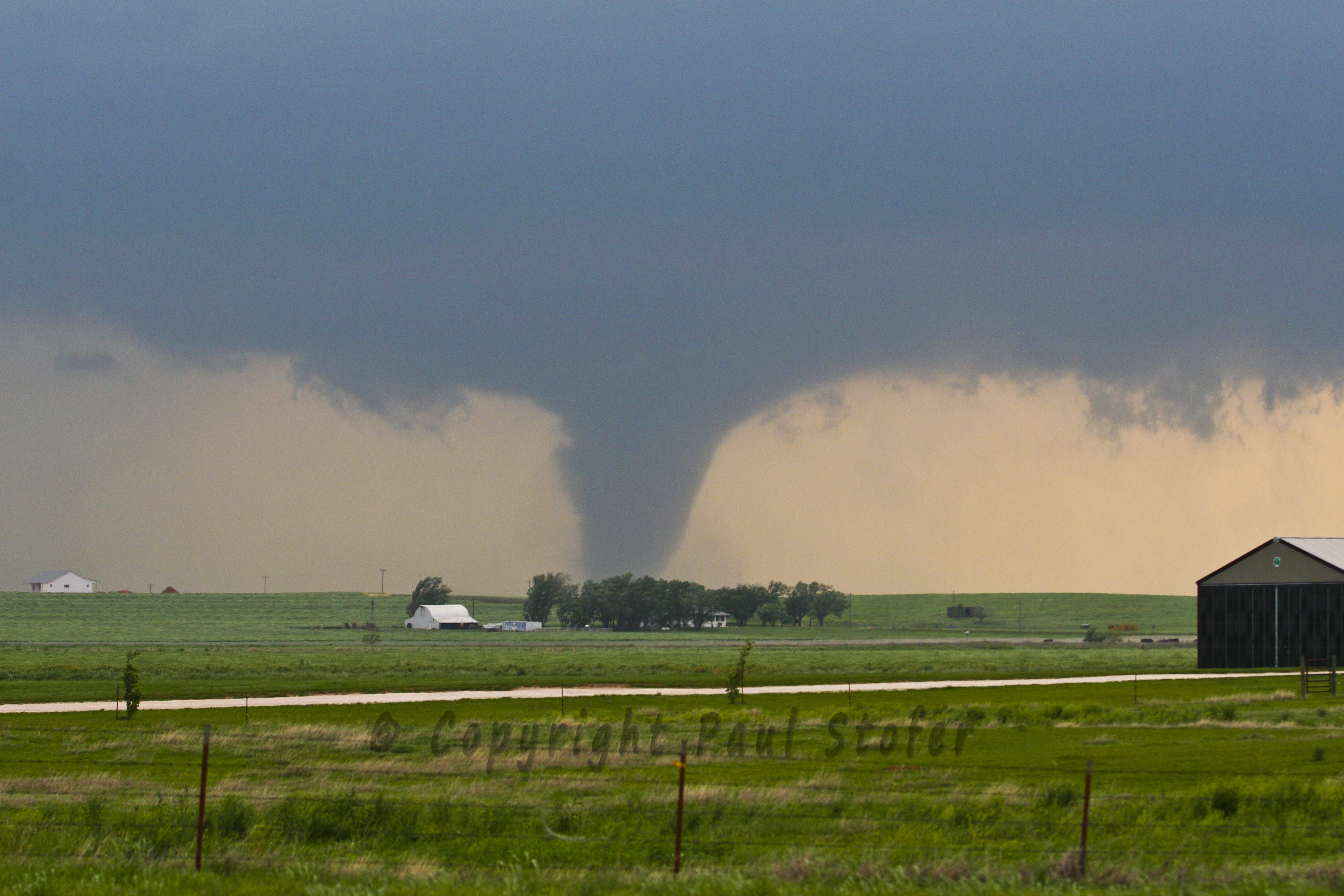
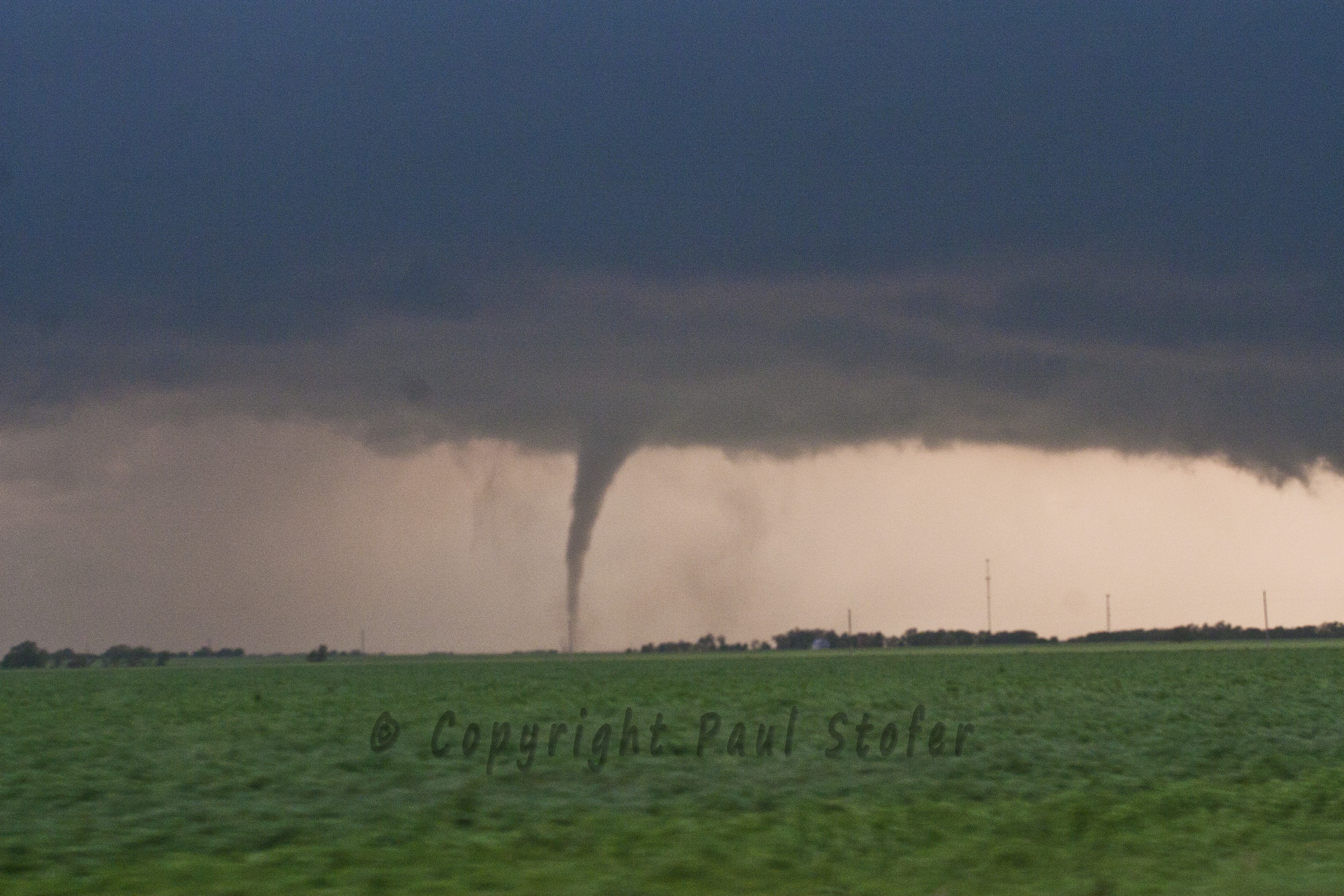
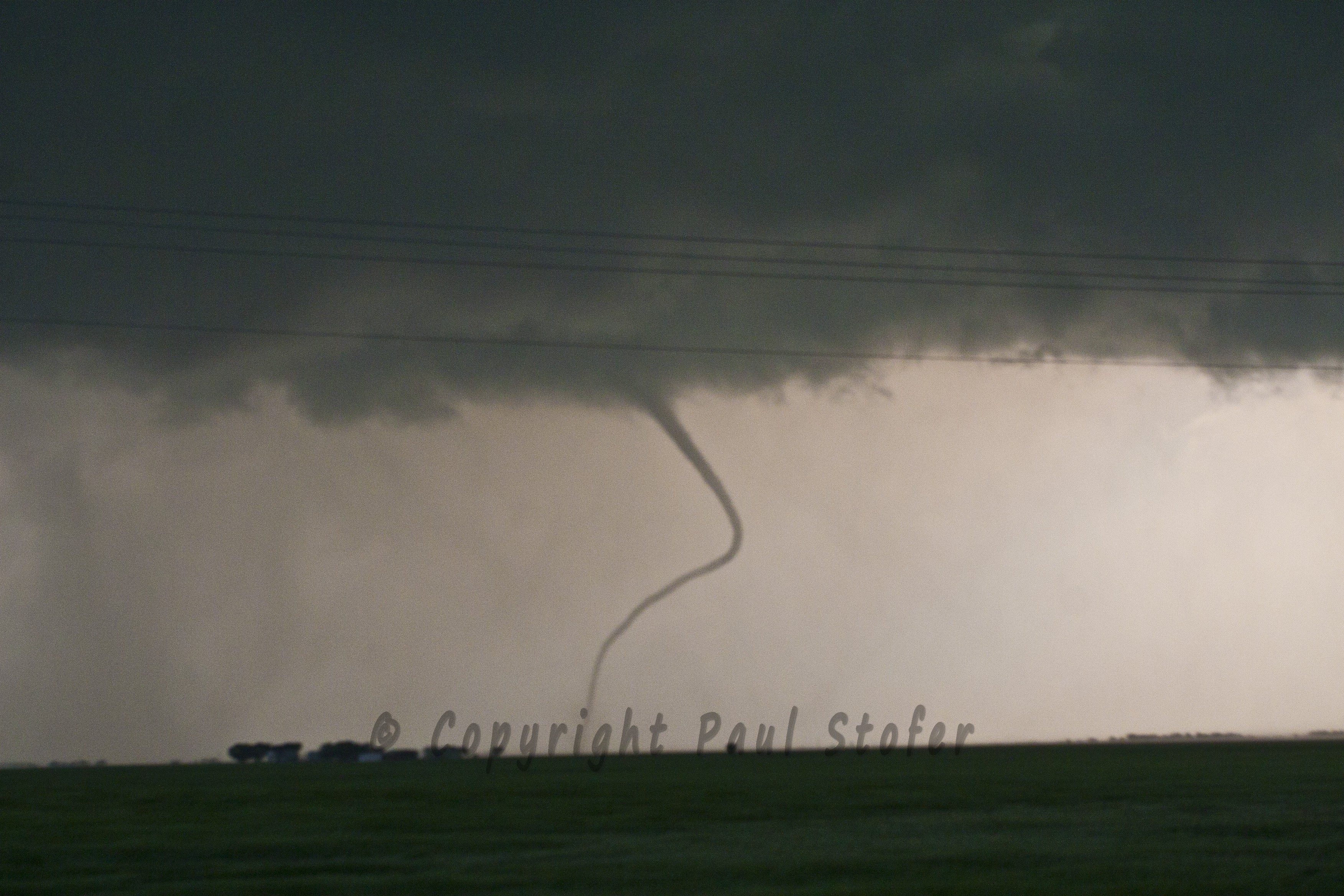
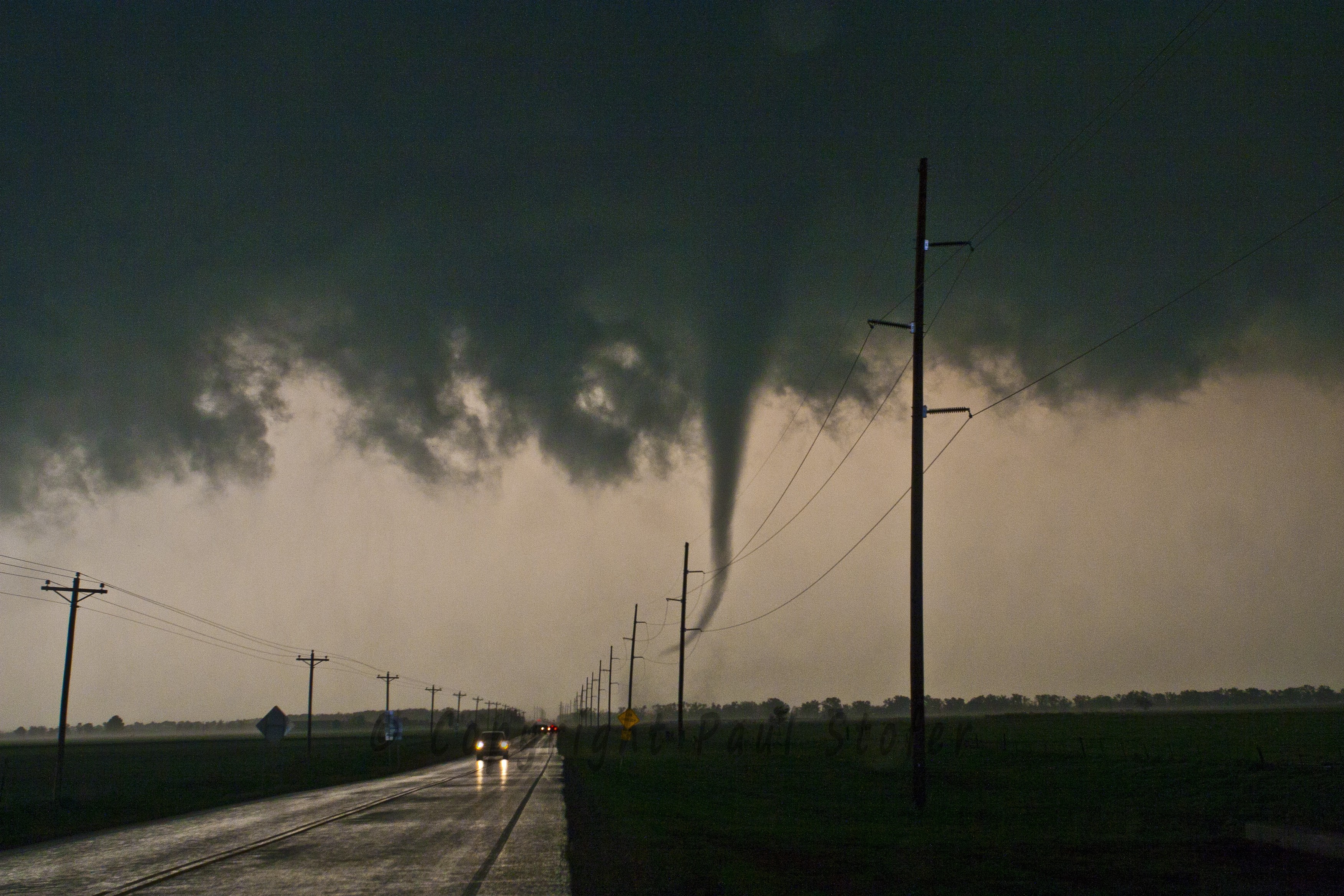
April 14th, 2012 The day began as a High Risk with predicted tornado outbreak. Today I chased with Dave Fick. I left for Oklahoma City around 7am to meet up with Dave. Our target for today was Southwestern Kansas. Storm motions for the day were to be NE at nearly 50MPH. We departed Oklahoma City and flew north on I35 and exited Highway 166 and went West. We past through Caldwell, then North up to Anthony. We continued West to Kiowa on 14 and storms began firing and racing to the North and East. We followed a couple storms that quickly went Tornado Warned off to the North, but storms began to backbuild to the South and West. We decided playing tail end Charlie (storms forming on the Southernmost end of the line) was the best option for observing decent tornadoes. We bailed on our current storms and went South back into Oklahoma on SR-11 through Cherokee and observed a large wall cloud with developing tornado near Carmen. We exited SR-45 and went West towards Carmen and observed a brief tornadic spin up as it crossed 45. The tornado lifted and another cone tornado dropped and was on the ground for around 5 minutes. The tornado disappeared into the rain curtain as it moved off to the Northeast. We turned around and went back North on US-64 (SR-11) towards Cherokee. To our West we observed a large tornado which transitioned between Cone to Stovepipe to Elephant Trunk. As we observed these tornadoes a second satellite tornado dropped, which would become the main tornado about 10 minutes later. The second tornado was a very small stovepipe tornado. We continued to chase these tornadoes to the North. Eventually the origional tornado roped out and the second tornado intensified. We continued through Cherokee back towards the 11/64 split where the Tornado crossed the highway about a quarter mile from our vehicle. We observed very strong (80-90MPH EST) RFD winds as the tornado crossed the freeway. A barn was destroyed and lots of debris was airborne at this time. We exited and followed the tornado East on SR-11 as it disappeared into the rain curtain. Our route was blocked by downed powerlines laying in the road, but our last glimpse of the tornado was a large rain-wrapped wedge as it continued to the North. As of yet, this would become my most successfull, and exciting chase of my career, and a great way to continue the 2012 chase season. There are many more still photographs of this event, more than listed on this page..
MOBILEVISION DASHCAM FOOTAGE
|
|
|
