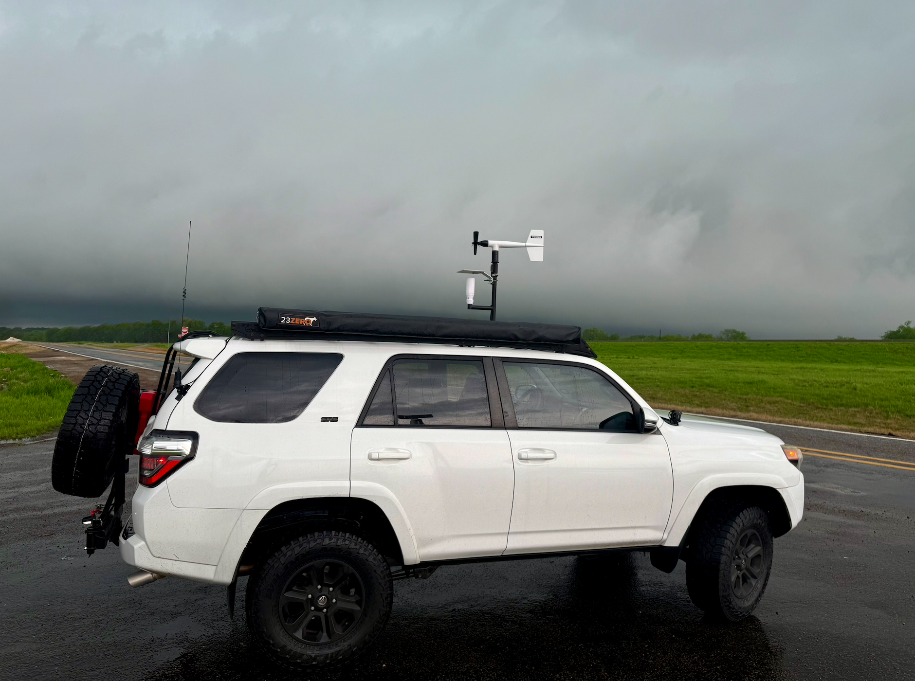
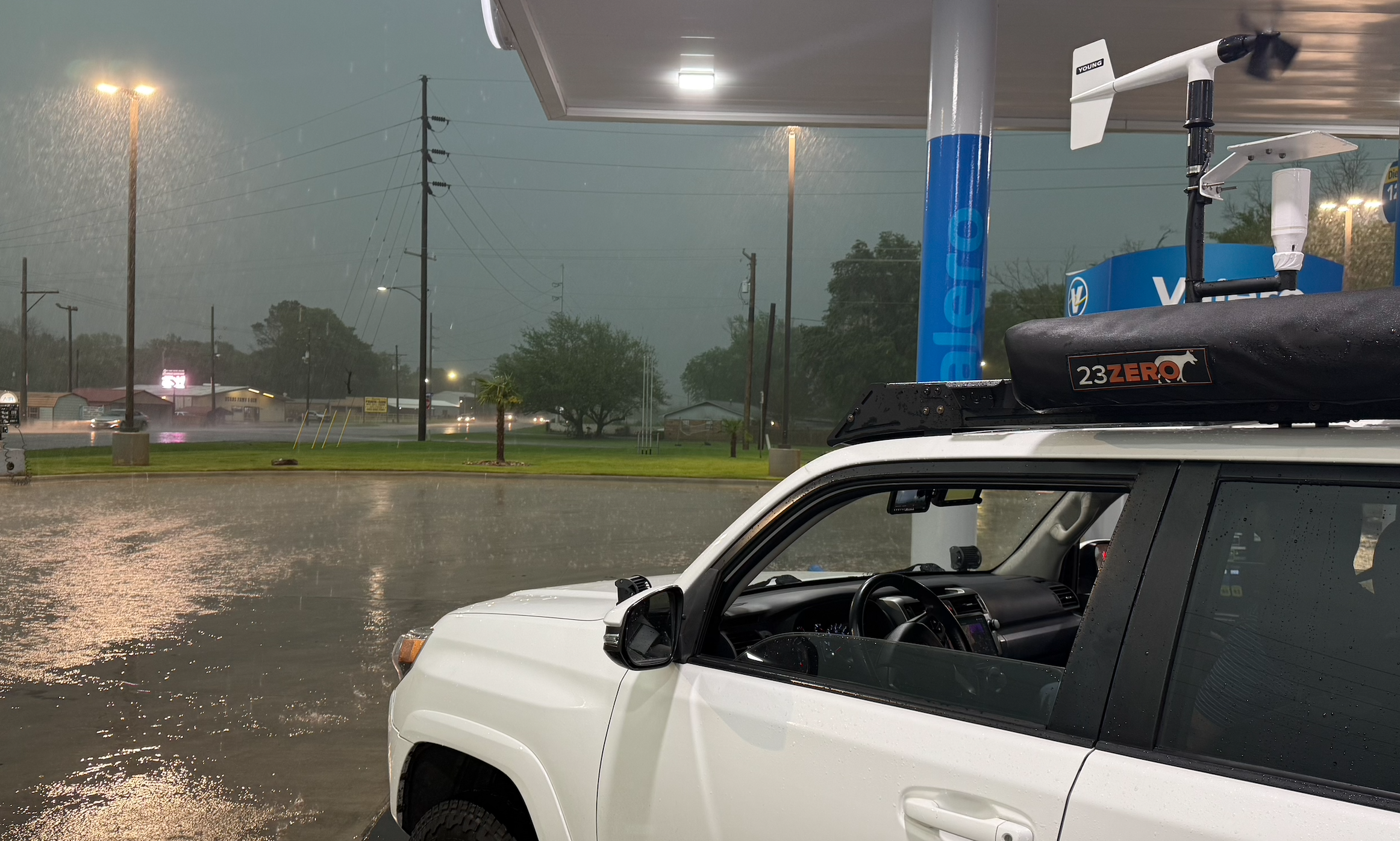
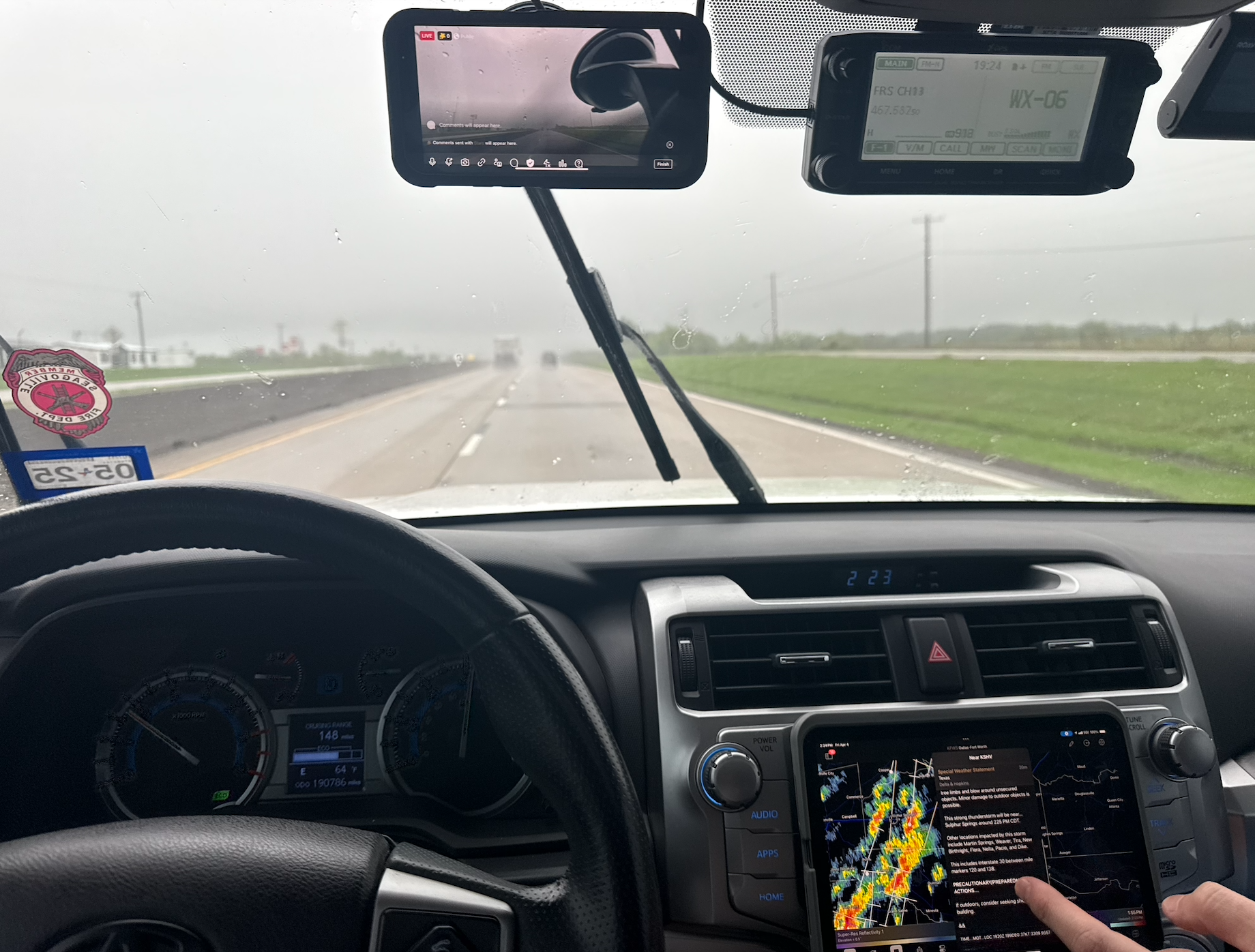
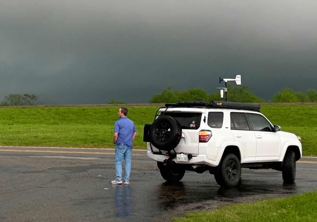
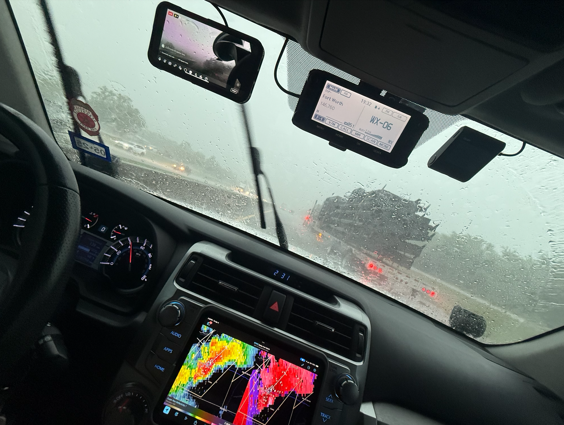
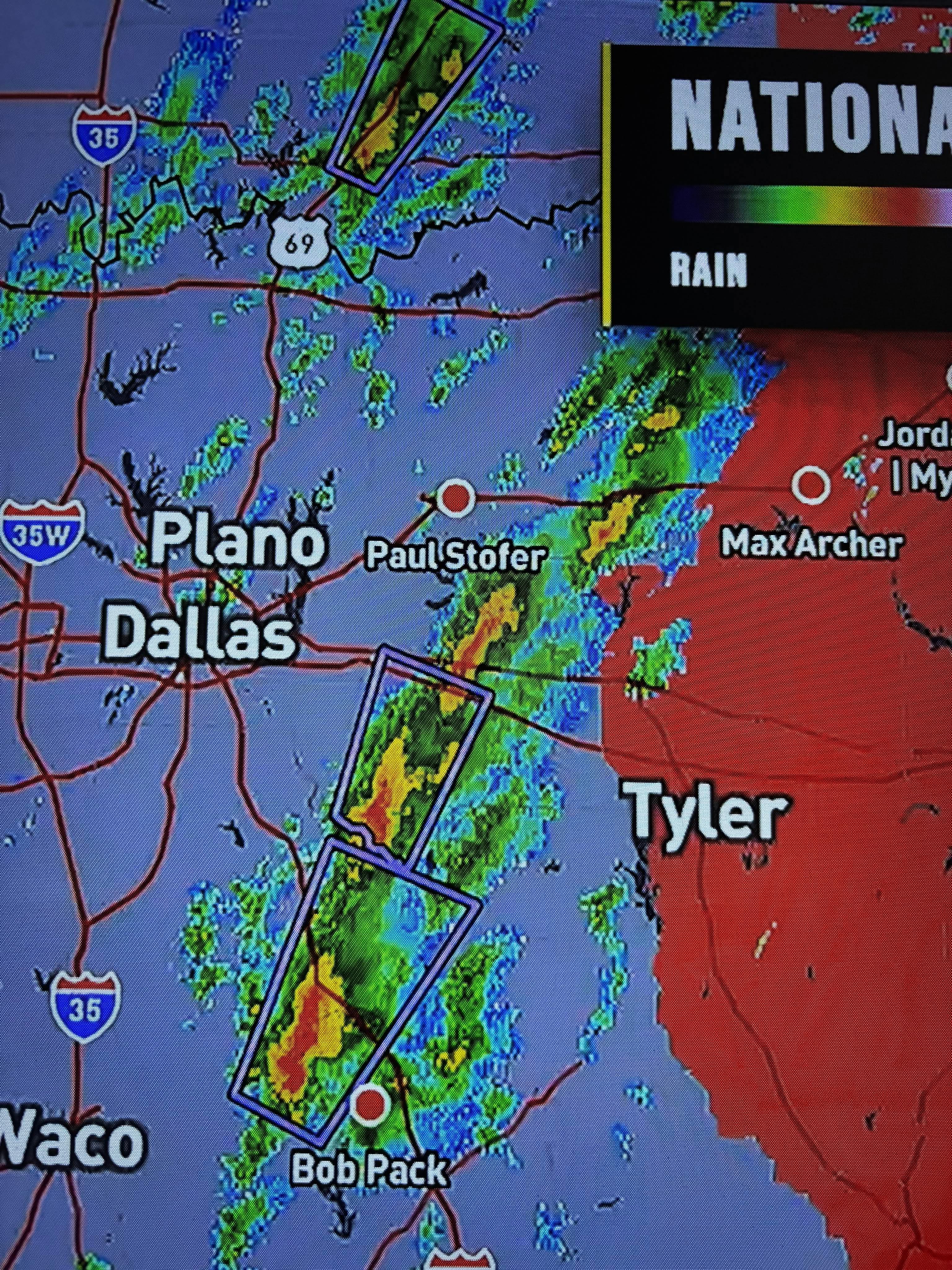
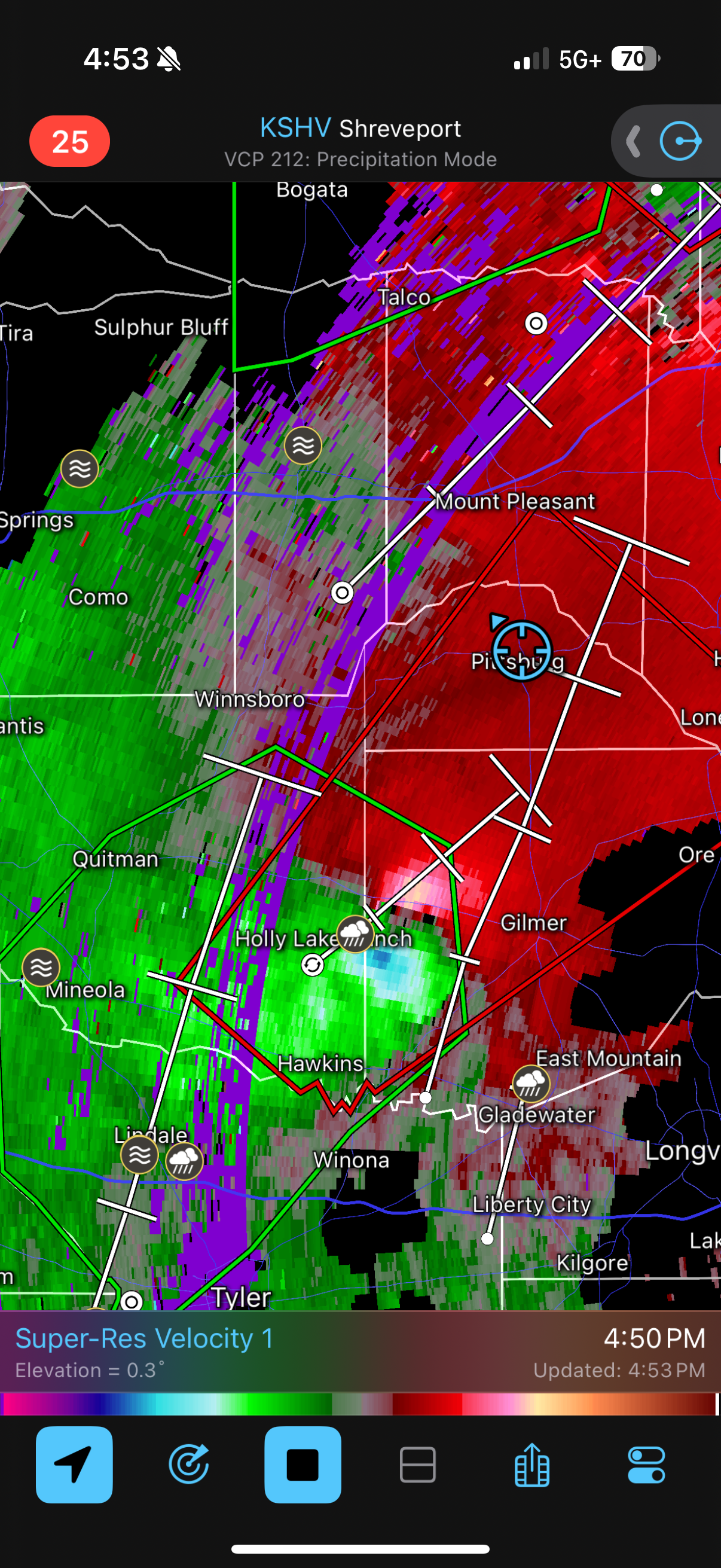
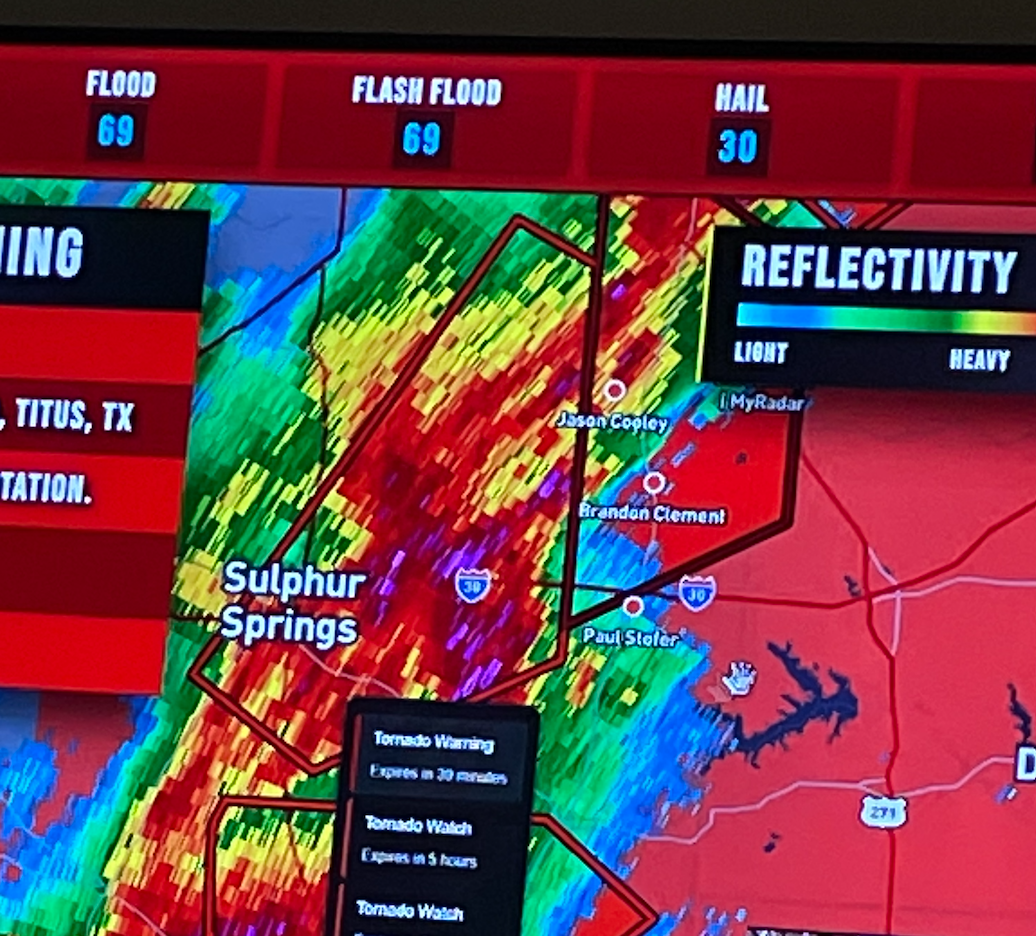
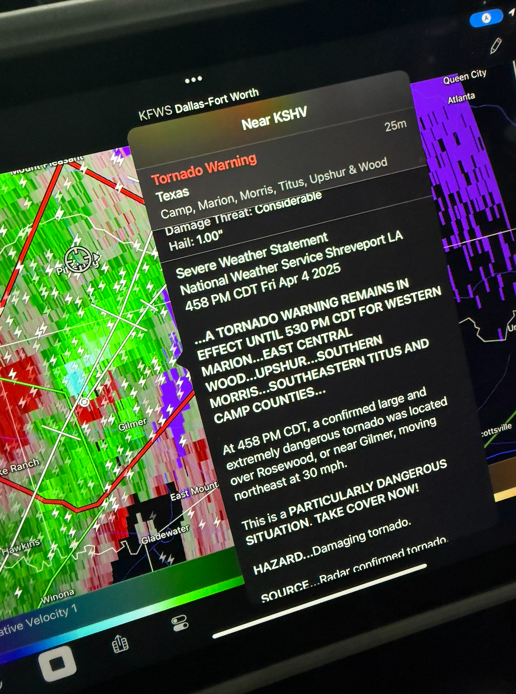
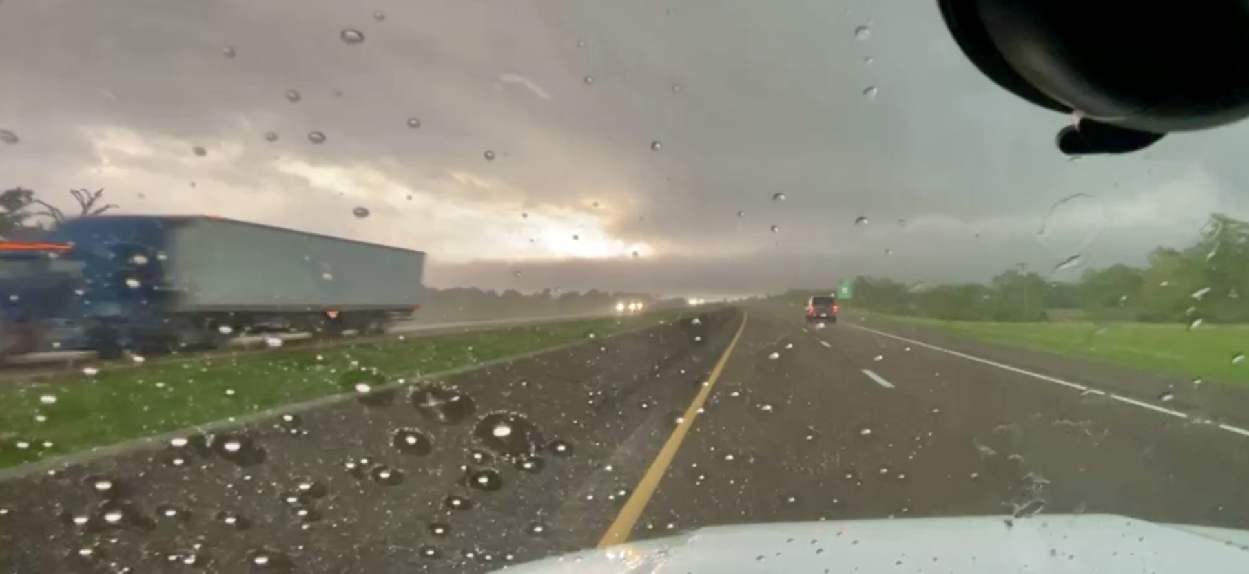
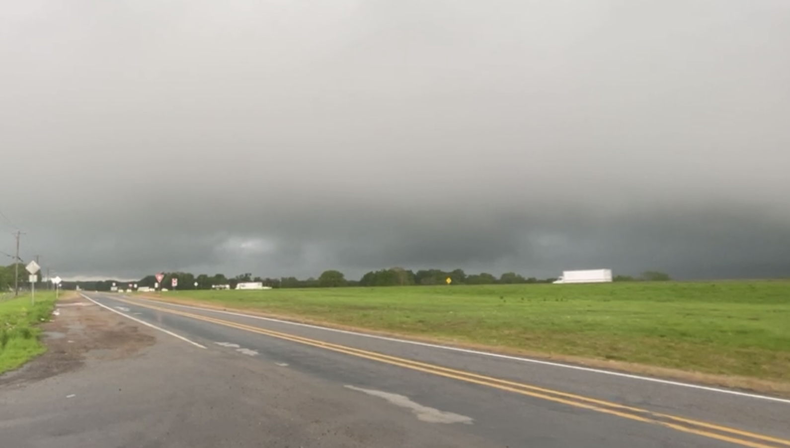
Today I chased with Landon Hodge. Today had a strong risk for very large hail and isolated strong tornadoes in Northeast Texas, Southeast Oklahoma, and Arkansas. We started the day in Sulpher Springs. We observed an intense rain core with lowered storm bases near Cumby. As the storms approached Sulpher Springs Tornado Warnings were issued and we observed a wall cloud approach I30 as we approached it from the West. We continued to observe this from Mount Vernon and a large tornado was reported near Pittsburg and Winnsboro. We made our way here quickly where we were joined by chase teams from NOAA / NSSL. We entered a very intense rain core as a reported large tornado approached our location. We stayed to the north as the tornado proceeded to cross 271 south of the city. We called the chase off as it was wrapped in rain and fairly dangerous to pursue.